Case study · WxUAS
PaCE 2026
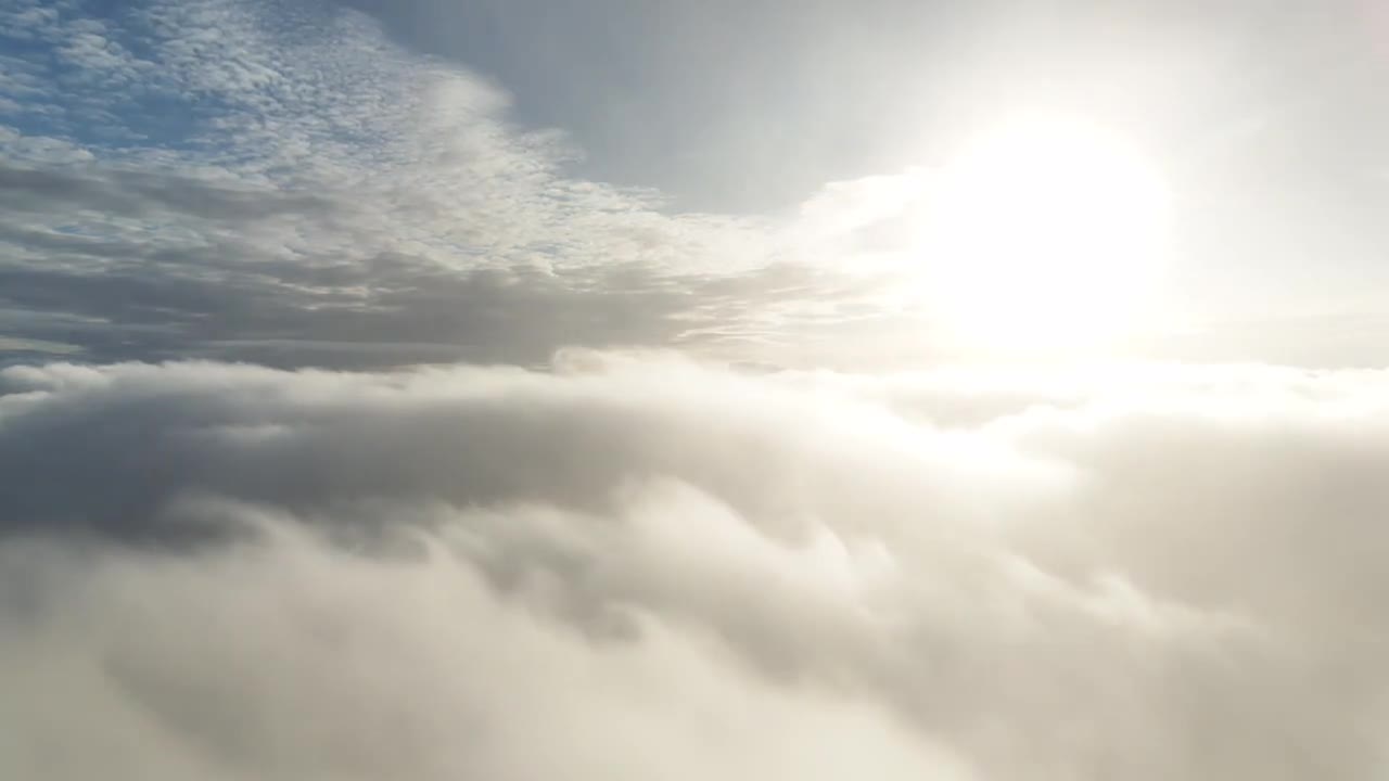
Repeated weather profiles from Finnish Lapland. WxUAS-0002 is flying the 2026 Pallas Cloud Experiment, sounding the layer where fog, low cloud, and most of the weather that affects people actually form.
The campaign
PaCE — the Pallas Cloud Experiment — is a multi-institute field campaign at the Pallas Atmosphere–Ecosystem Supersite, about 170 km north of the Arctic Circle. In autumn the hilltop station at Sammaltunturi sits in cloud for much of the time. That makes Pallas an unusual natural laboratory: you can measure cloud from the inside on the ground, while aircraft, drones, and remote sensors profile the same air from the valley floor up through the cloud layer.
Wx Labs is contributing frequent thermodynamic profiles with WxUAS-0002, flown from the valley near Kenttärova. The flights reach about 8000 ft (2.4 km) above sea level — high enough to sample the boundary layer, the cloud-bearing layer, and the drier air above.
What we put in the field
Weather is three-dimensional. A surface station tells you temperature, humidity, and wind at one height. A radiosonde can give a full vertical profile — but only from a handful of stations, typically twice a day. Between those launches the atmosphere can change completely: a nocturnal inversion can form and break, a cloud deck can lift or collapse, and the boundary layer can grow by a kilometre.
WxUAS-0002 carries a meteorological payload on a small uncrewed aircraft. Each ascent is a repeatable sounding of the lower troposphere: temperature, humidity, pressure, and derived quantities such as mixing ratio, potential temperature, and lapse rate. The profiles follow World Meteorological Organization conventions for uncrewed soundings, so they can sit alongside other weather-UAS data in a common format.
Why fly here
The lowest one to two kilometres is where we live. It is also the hardest layer for satellites to see clearly, and the one numerical weather prediction models most need help with. Weather drones close the gap. They can be launched on demand, many times a day, and return a thermodynamic profile with the vertical detail of a radiosonde and the cadence of a field campaign.
Those profiles are useful to forecasters watching fog and low cloud, to researchers studying Arctic mixed-phase cloud, and to anyone who needs to know how the atmosphere is layered now, not twelve hours ago. At Pallas, low cloud, inversions, and aerosol–cloud interaction are the everyday weather, not the exception.
Data
Each flying day is published as it comes in: height–time figures, interactive profiles, and NetCDF soundings. The files use Climate and Forecast metadata and the WMO UAS Demonstration Campaign profile layout, including FM 303-2024 variable names.
The campaign data website is already live.
What followed
PaCE 2026 is a working test of routine weather-UAS in a demanding Arctic environment: cold, cloud, and a reserved research airspace up to 2 km. If you run a campaign, observatory, or forecast desk and want profiles like these in it, talk to us.