
Case study · WxVision™
TEAMx
All-sky observations from the Inn Valley. WxVision spent the 2025 TEAMx summer in the Alps, recording thunderstorms and rapid cloud-field changes over mountain terrain.
The campaign
TEAMx — Multi-scale Transport and Exchange Processes in the Atmosphere over Mountains — ran a year-long observational campaign across the European Alps from September 2024 to September 2025. Target areas included the Inn Valley in Austria, the Adige Valley in Italy, the Alpine crest between them, and the Alpine foreland. The aim is to understand how the land surface and the atmosphere exchange heat, moisture, and momentum in complex terrain, and to give weather and climate models better observations to work from.
A summer extensive observation period ran from mid-June to late July 2025. The Wx Labs deployment covered that window and continued through September. The campaign already fielded profilers, eddy-covariance sites, radars, and radiosondes. What it did not routinely have was a standardised all-sky camera looking in every direction at once.
What we put in the field
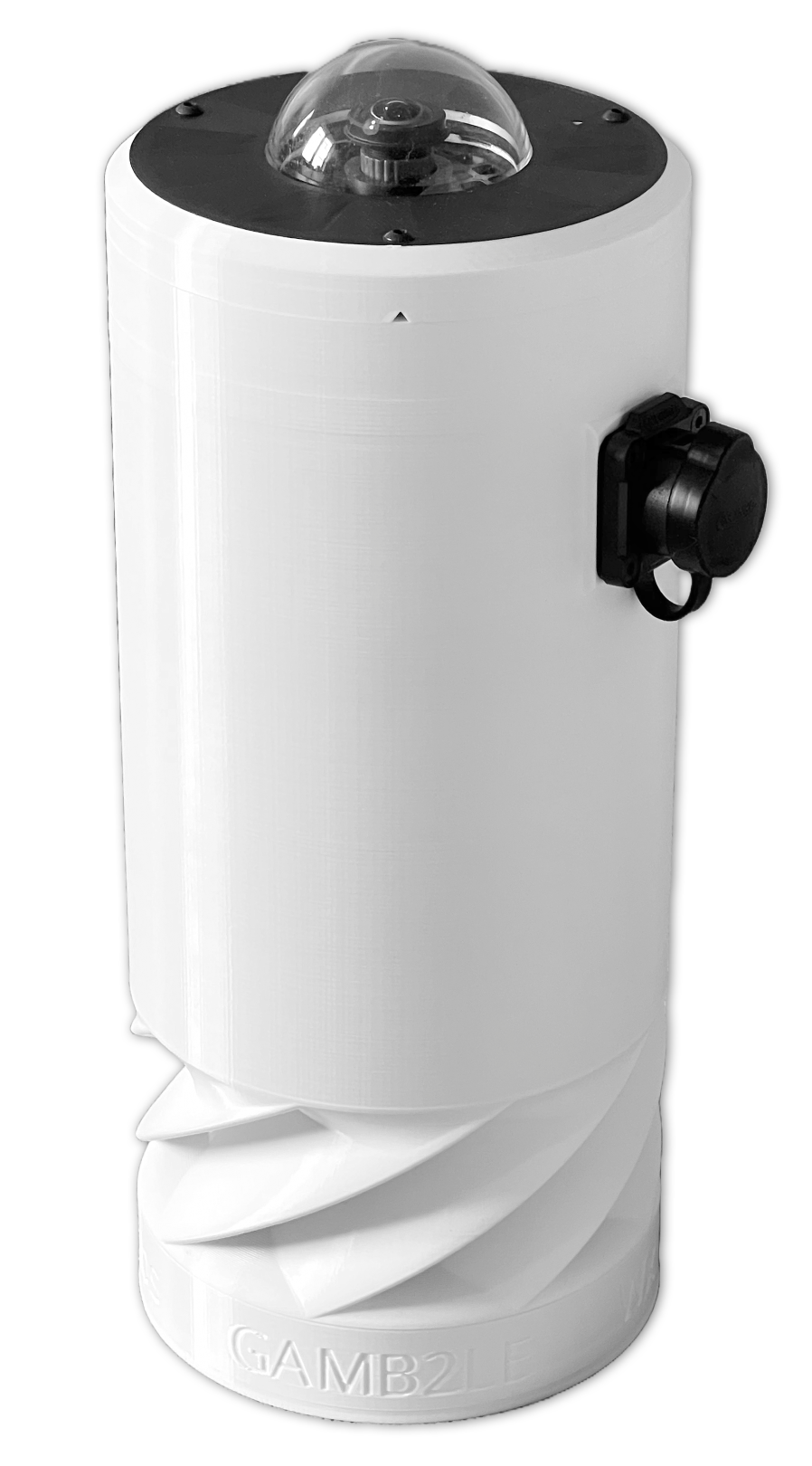
WxVision is an all-sky weather station: a 360×180° 7.3 MP camera, aspirated temperature and humidity, pressure, and lightning detection, powered and networked on a single Power-over-Ethernet cable. Taking it to TEAMx was a test of whether a compact, local-first station could add a visual sky layer to a dense mountain observing network.
Short image sequences show towering cumulus, gap openings, and thunderstorm development in a way numbers alone do not. That is the observing gap the instrument is built for: mesoscale change that a trained eye sees immediately, and that a network of all-sky cameras could eventually turn into routine products — cloud fraction, type, and motion — for nowcasting and research.
The opportunity was made possible by Phil Rosenberg and James Groves at the National Centre for Atmospheric Science.
Why all-sky, in the mountains
Mesoscale weather often turns on change you can see: towering cumulus building, a gap opening, the first thunderstorm anvil. Conventional networks measure temperature, humidity, wind, and radiation well. They rarely observe the visual sky state itself. In a valley, that sky is also the working map of upslope cloud, venting, and convection initiation — the processes TEAMx was designed to capture.
A webcam with a narrow field of view misses most of the hemisphere. An all-sky camera does not. Paired with in-situ sensors on the same mast, the image is no longer an illustration of the weather. It is part of the observation.
What the sky did
Over those summer months the Inn Valley produced frequent thunderstorms and rapid cloud-field transitions — exactly the mesoscale change that all-sky imagery is meant to catch. The dusk panorama at the top of this page is one frame from that record.
The deployment also fed back into the instrument. Time in the Alps informed enclosure hardening, uptime targets, remote management, and early comparisons against co-located reference instruments. A field campaign is where a station stops being a prototype and starts being an observing system.
Data
The TEAMx WxVision record is being prepared for the CEDA archive. If you need access for research, or want to discuss a co-located comparison, email hello@wxlabs.co.uk.
What followed
WxVision is now in other climates, including agricultural sites in the UK and cold-weather tests to −50 °C. If you run a network, observatory, or field campaign and want an all-sky node in it, talk to us.